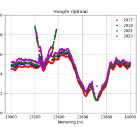
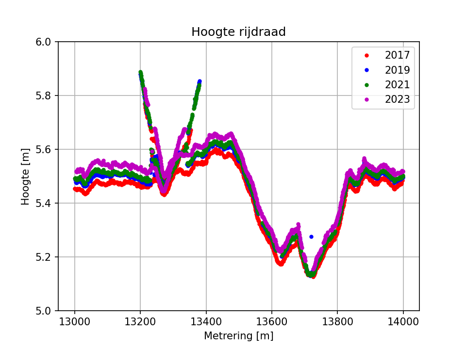
I recently got the request to determine contact wire heights from multiple years of point clouds with the goal of doing a trend analysis. Point clouds acquired in four years were available, all of them acquired […]
admin
103 posts
Organizing notes, thoughts, links and to-do lists is important to keep overview and free your brain capacity for other things. I’ve used various methods in the past: Like probably everybody else of my age, I started […]
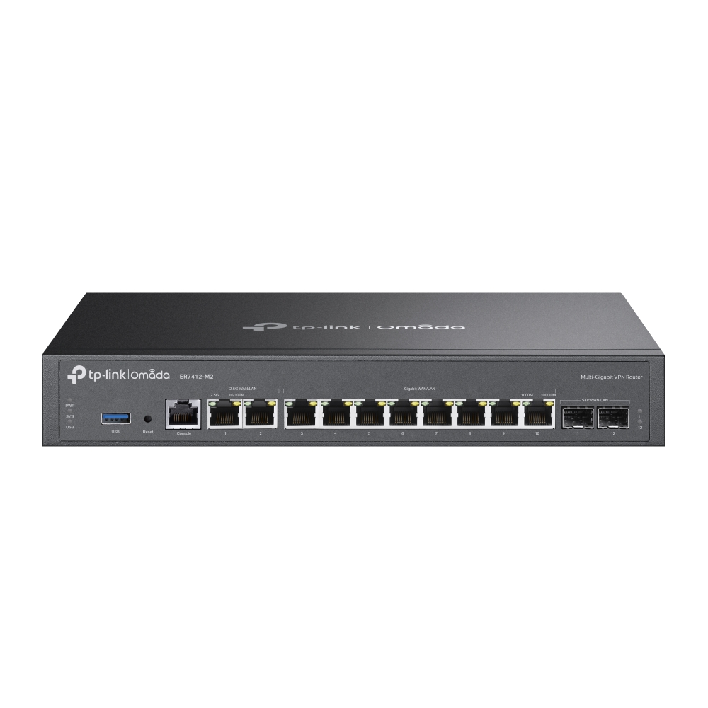
With a move coming up I started thinking about network requirements for the new house. Based upon past experience and future plans, I arrived at the following set of requirements, in no particular order: Wireguard VPN […]
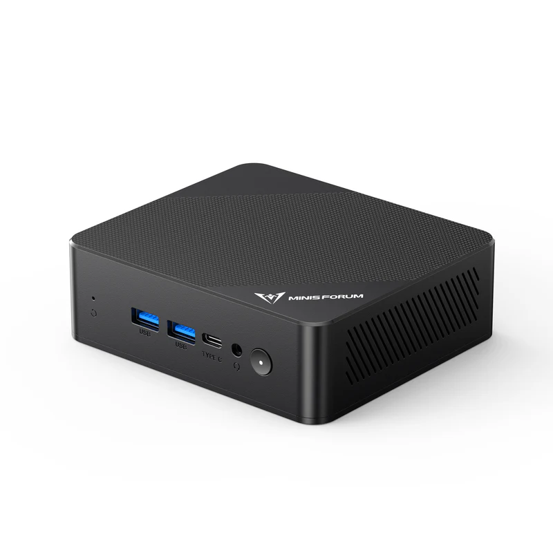
I’ve long considered getting a small low-power Linux PC as intranet database and web server and for testing Linux applications. Intel’s N100 processor has been a bit of game-changer in this segment, employing four efficiency cores […]
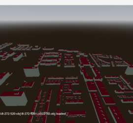
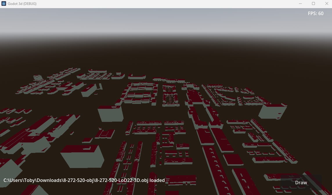
OBJ is a popular format for 3D meshes and one of the formats in which the 3D BAG is distributed. Because of this I wanted to be able to load OBJ files at runtime, just as […]
I’ve previously visualized lines, using clickable meshes as geometry. The advantage of this approach is that you get clickable objects and can access their attributes. The downside is speed, as each vertex and line segment is […]
I’ve previously written about parallelizing for loops in C/C++ and C#. This is possible in Python, too, and might even be more important than in the two other languages, as Python’s interpreted nature can make it […]
I’ve previously written about parallelizing C/C++ for loops with OpenMP. Many of the concepts explained in that article also apply to C#. The main difference is that C# does not use OpenMP. For loops are instead […]
Part 2 of my Godot journey covers reading a text file, drawing the contained vertices, and how to handle drag & drop. Reading a file My go-to tool for visualizing point clouds is CloudCompare. The easiest […]