My go-to programming languages are C/C++ for numerical computations and data processing, C# for Windows GUI applications, and Python for quick scripts and machine learning. Nevertheless I decided to take a look at Rust, as it […]
Blog
97 posts
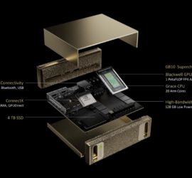
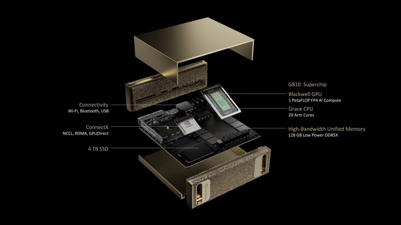
Project DIGITS NVIDIA caused a bit of a stir at CES 2025 when it announced Project DIGITS, a tiny computer for AI development. It combines a 20-core ARM CPU with a Blackwell-generation GPU/AI accelerator and 128 […]

The difference between consumer and enterprise network hardware are expanded functionality that aims at more security (such as more advanced firewalls, the possibility to compartmentalize your networks using VLANs and multiple WLAN IDs, and VPNs) and […]

One of my goals with my Intel N100 Mini PC was to use it as net video recorder. I’ve been using a Eufy doorbell for a couple of years now, and while it is one of […]
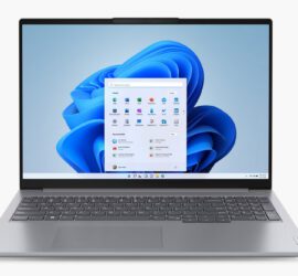
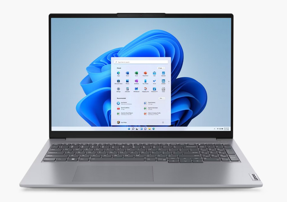
I recently needed a new laptop as backup system. Compared to my HP ZBook it could be a more low-end computer. I just wanted a 15/16″ screen and a display port-enabled USB-C port for my external […]
Out of all the essential software packages that I’ve mentioned on this blog, the Generic Mapping Tools are certainly the one that I’ve used the longest, for more than 20 years. Back then I think it […]
Virtualisation and Containerisation are an important part of today’s computing landscape. Containers offer several benefits compared to software running directly on an operating system: They are isolated environments, helping with issues like security and dependencies. Running […]

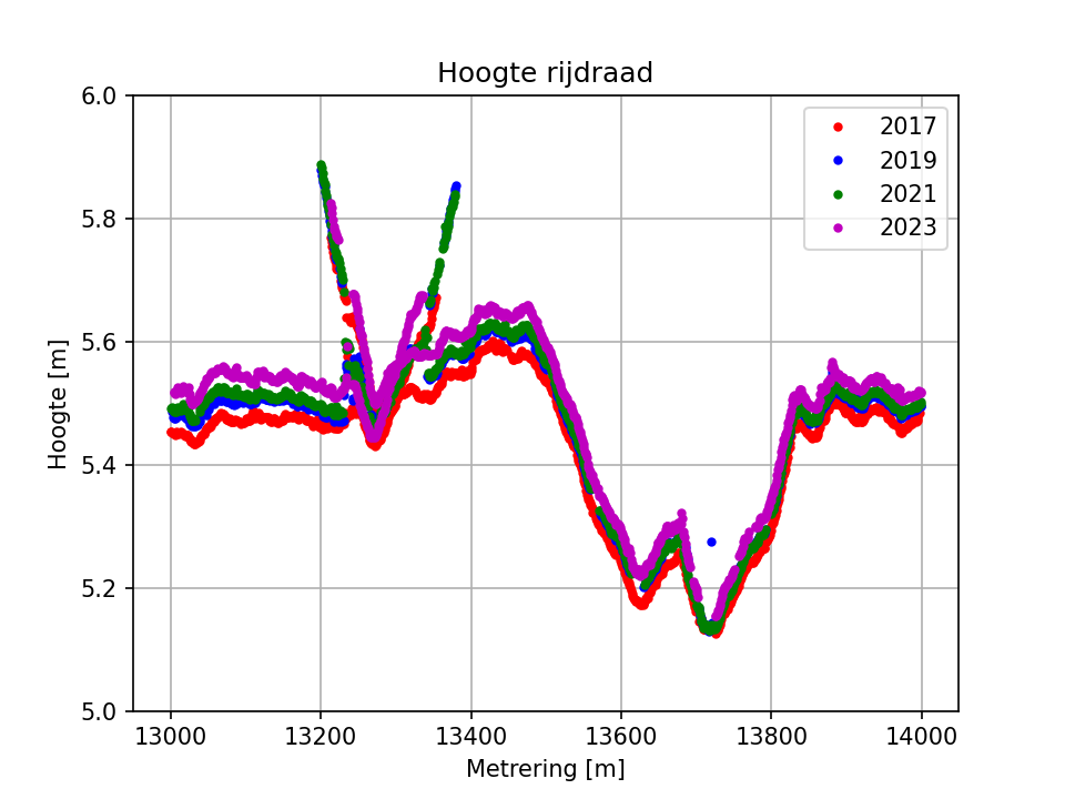
I recently got the request to determine contact wire heights from multiple years of point clouds with the goal of doing a trend analysis. Point clouds acquired in four years were available, all of them acquired […]