The Cloud-Optimized Point Cloud (COPC) format is an extension to the popular LAZ file format for point clouds. It adds spatial subdivision and an index to the end of a LAZ file that makes it possible to load specific parts of a point cloud without having to load and decompress the entire file. This makes COPC well suited to streaming point cloud data via the Internet, but also has benefits for desktop use. QGIS for example uses COPC for displaying point clouds. Software that can read LAZ but not the COPC extension simply ignores it.
I have collaborated with 360 Geo to build a COPC converter in Rust that significantly outperforms Untwine, which so far is the most-used COPC converter. Our converter is open-sourced and available on Github.
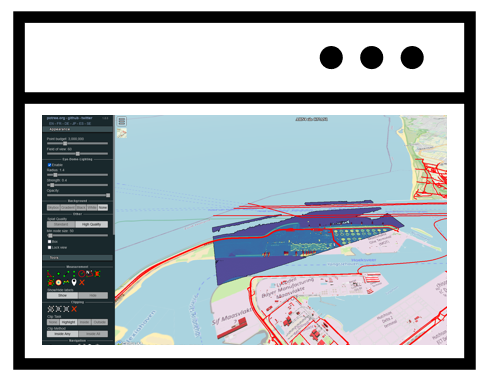
I’ve created a viewer in Rust using macroquad that can read COPC files. This makes it possible to read hundreds of gigabytes of LAZ file and seamlessly zoom to the highest detail level. The viewer can be used both on the desktop and in the web browser. It supports display of points by various attributes, measuring, and creating cross sections.
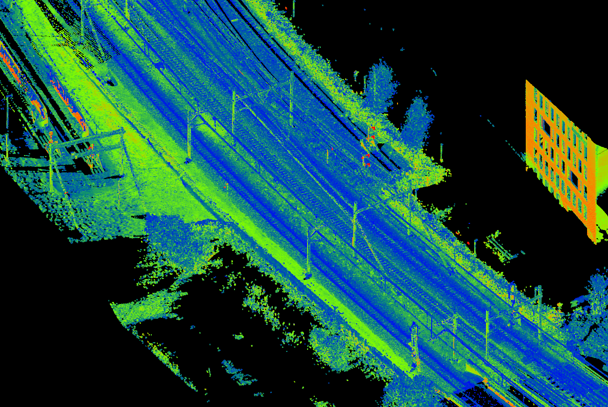
Here’s a zoomed-out view of a full day of data acquisition, more than 21 billion points in 57 drivelines, stored as one COPC file per driveline and all loaded at once:

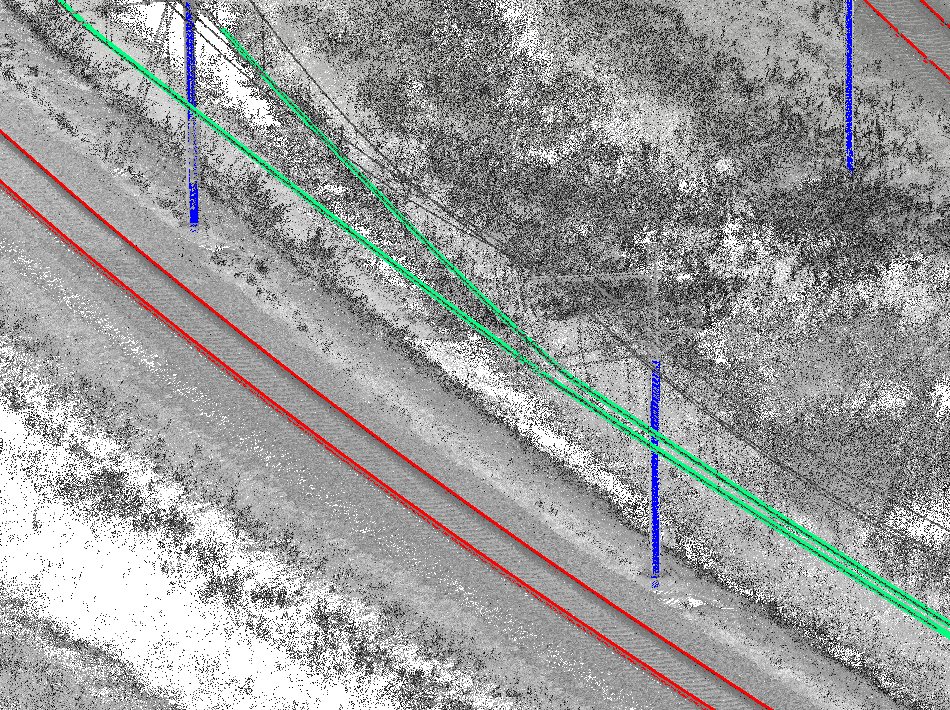
And here’s a zoomed-in view, showing the full resolution:
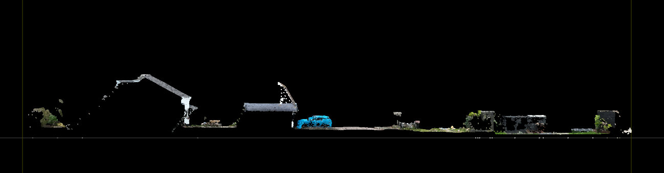
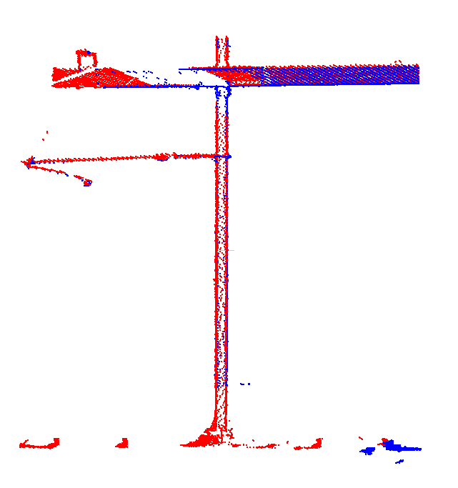
Cross section view example: