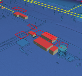
Punktwolken die mittels Laserscanning mit Mobile Mapping Systemen auf Schienenfahrzeugen aufgenommen werden sind inzwischen der Standard für das effiziente großflächige Vermessen von Schieneninfrastruktur. Leider sind Punktwolken große und unstrukturierte Datenberge mit einem sehr niedrigen semantischen Informationsgehalt. […]
Punktwolken
19 Beiträge
Okay, let’s be honest: Despite what the manufacturers of laser scanning equipment are trying to tell us, nobody really wants point clouds. They are huge blobs of unstructured and often noisy data with a low semantic […]
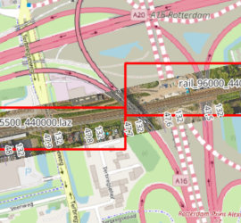
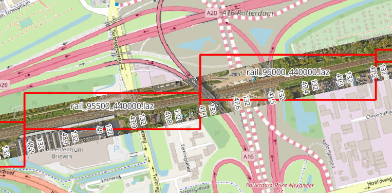
When you have many point cloud files that are not tiled, it can be tricky to find the one file that covers a certain geographic area. One way to deal with this is to construct the […]
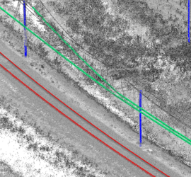
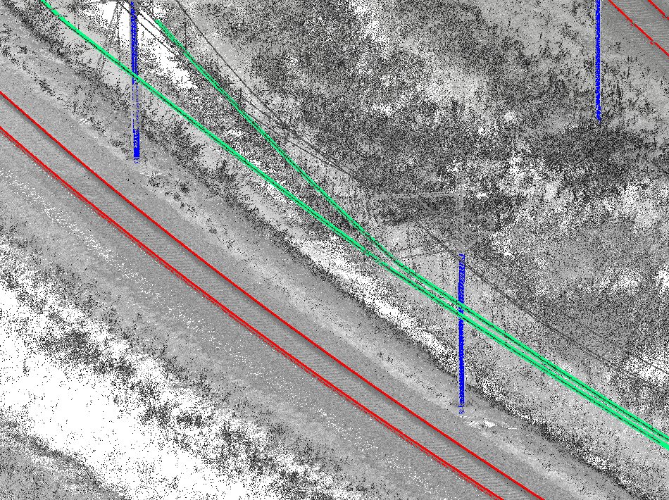
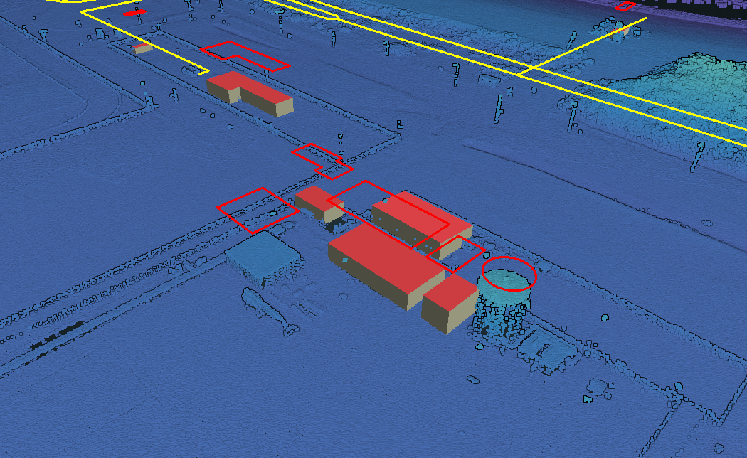
Laserscanning produziert enorme Datenmengen. Die Herausforderung dabei ist um effizient hieraus Informationen abzuleiten. Der erste Schritt dabei ist die Klassifikation der Punktwolken. Es gibt mehrere Ansätze hierfür. Ich habe unter dem Namen HaiClass eine Software entwickelt […]
Für das Betrachten und Analysieren von geographischen Daten wird oft speziale Software benötigt. Dazu kommen die großen Datenmengen die vor allem im Fall von Punktwolken transferiert werden müssen. Das macht es für den Nutzer schwierig, um […]
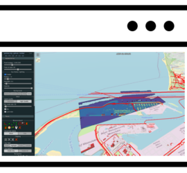
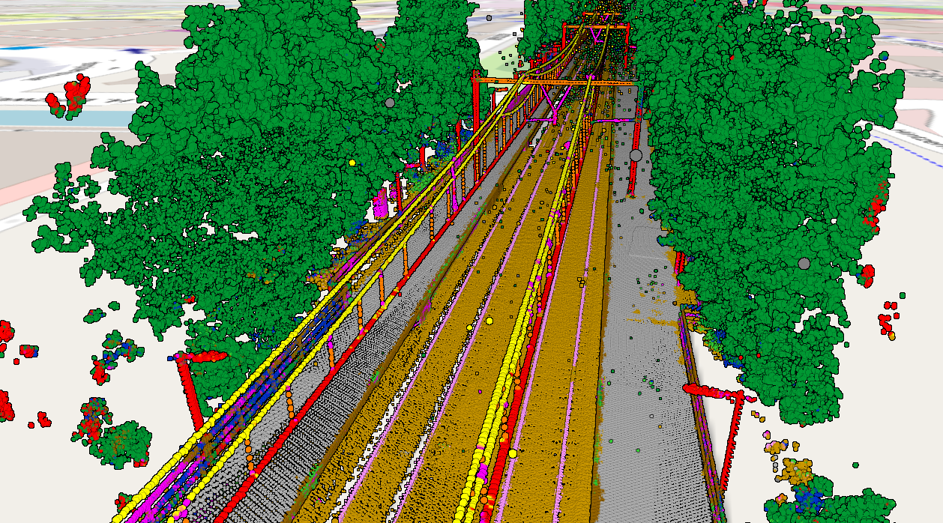
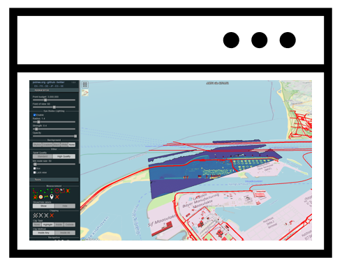
In my previous post I showed how to use Potree to create a web viewer for point clouds. But it doesn’t stop there, as Potree is also capable of displaying other geographic data. The Shapefiles example […]
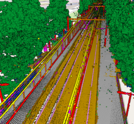
Potree is the de-facto standard web viewer for point clouds. It can display huge point clouds by showing only the relevant parts of the cloud. It can display using all attributes of a LAS/LAZ file and […]

When dealing with point clouds, you’ll probably run into the LAS format at some point, as it is the file format most commonly used for point clouds acquired through laser scanning. LAS supports a number of […]

Most laser scanners produce point clouds with irregular spacing – surfaces close to the laser scanner are scanned in much more detail than surfaces that are further away. This leads to huge point counts and file […]