Okay, let’s be honest: Despite what the manufacturers of laser scanning equipment are trying to tell us, nobody really wants point clouds. They are huge blobs of unstructured and often noisy data with a low semantic […]
Point Clouds
19 posts
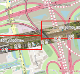
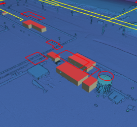
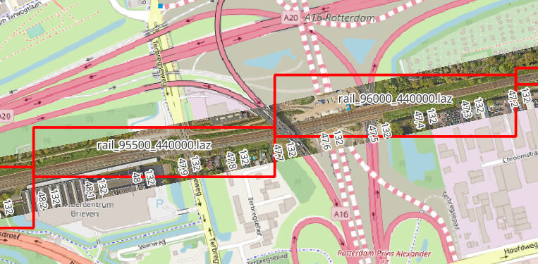
When you have many point cloud files that are not tiled, it can be tricky to find the one file that covers a certain geographic area. One way to deal with this is to construct the […]
I have many years of experience with Mobile Mapping and created various related software packages. Trajectory analysis Processing Mobile Mapping data starts with computing a good trajectory. I’ve written TTools to analyse trajectories in Inertial Explorer […]
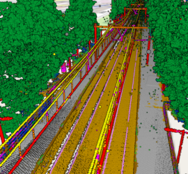
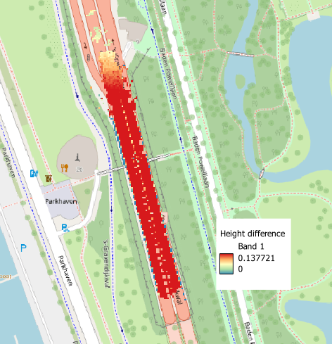
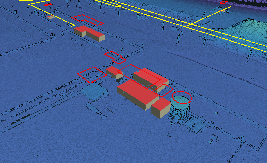
Laser scanning produces huge amounts of data. The challenge is to extract meaningful information from these point clouds in an efficient manner. The first step is classifying the point clouds. There are different approaches to automatic […]
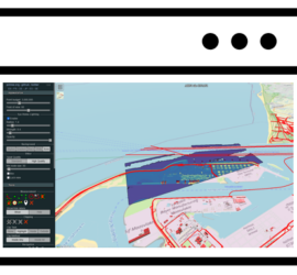
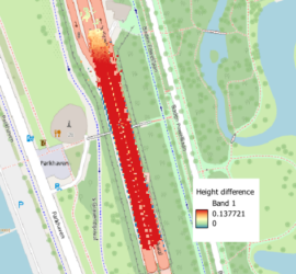
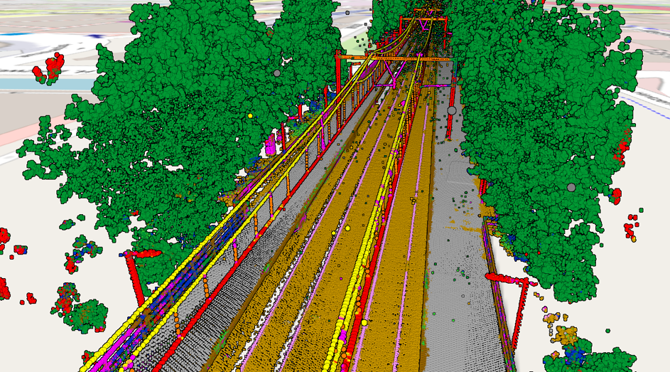
Geographic information often requires specialist software for viewing and analysis. An additional challenge is the large data volume, especially in the case of point clouds. This poses a challenge for easy viewing and querying of this […]
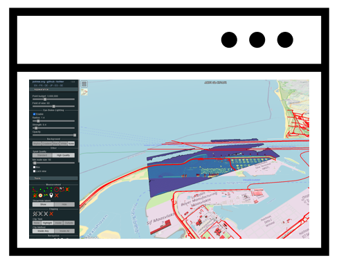
In my previous post I showed how to use Potree to create a web viewer for point clouds. But it doesn’t stop there, as Potree is also capable of displaying other geographic data. The Shapefiles example […]
Potree is the de-facto standard web viewer for point clouds. It can display huge point clouds by showing only the relevant parts of the cloud. It can display using all attributes of a LAS/LAZ file and […]

When dealing with point clouds, you’ll probably run into the LAS format at some point, as it is the file format most commonly used for point clouds acquired through laser scanning. LAS supports a number of […]

Most laser scanners produce point clouds with irregular spacing – surfaces close to the laser scanner are scanned in much more detail than surfaces that are further away. This leads to huge point counts and file […]