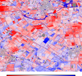
In Nederland hebben we met het Actueel Hoogtebestand Nederland een schitterend landelijk hoogtebestand. Schitterend omdat het open data is, van goede kwaliteit (5cm stochastisch + 5cm systematisch), hoge resolutie voor een airborne LiDAR bestand, geclassificeerd en […]
Batch
A customer of mine processes data in tiles of 50x50m size, then merges them into larger tiles of 1x1km size. I wrote a QGIS plugin to take care of all necessary steps, but there are cases […]
I recently had to prepare a delivery of images to a client – around 60,000 images, which I wanted to copy to a 128GB USB stick. Unfortunately this proved impossible. The Windows error message proved inconclusive, […]
Windows batch scripts are incredibly useful for processing data. You can automate many tasks by a simple batch file. The most common thing that I use is a for loop over all files of a certain […]
Most laser scanners produce point clouds with irregular spacing – surfaces close to the laser scanner are scanned in much more detail than surfaces that are further away. This leads to huge point counts and file […]


