Here are a couple of Windows tools that I find extremely useful. WinMerge Have you ever tried to manually find the differences between two text files, such as different versions of a piece of code or […]
Blog
111 berichten

I’ve long worked without a code versioning system – mostly because I usually work on a project alone. For a couple of years now I’ve regularly synced most of my code to Google Drive as backup […]
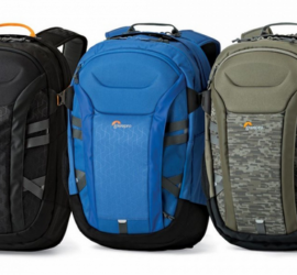
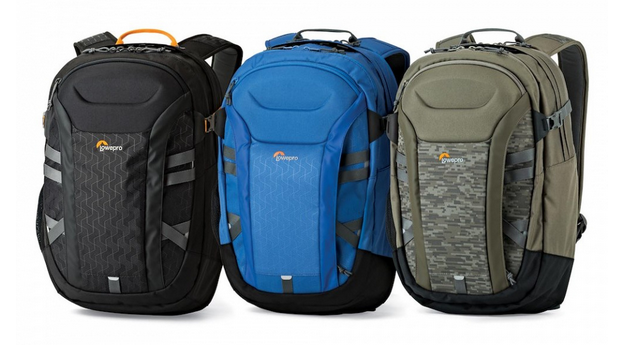
I’m a bit of a backpack aficionado – not that I own many, but I much prefer them over other types of bags, and always do quite a bit of research before buying one. I couple […]

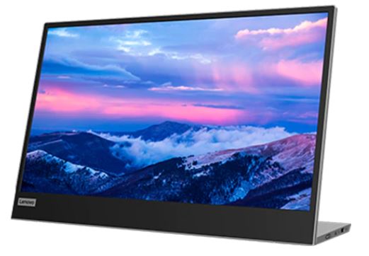
I’m probably not the only one who, when working from home, works at the kitchen or dinner table instead of a dedicated desk. By using only your laptop screen, you sacrifice quite a bit of screen […]

I recently had to prepare a delivery of images to a client – around 60,000 images, which I wanted to copy to a 128GB USB stick. Unfortunately this proved impossible. The Windows error message proved inconclusive, […]
Google offers a free trial of its Cloud Platform, worth US$ 300 over a 90-day period, with an additional US$ 100 if you provide a company e-mail address. After spending some time with Azure, I decided […]

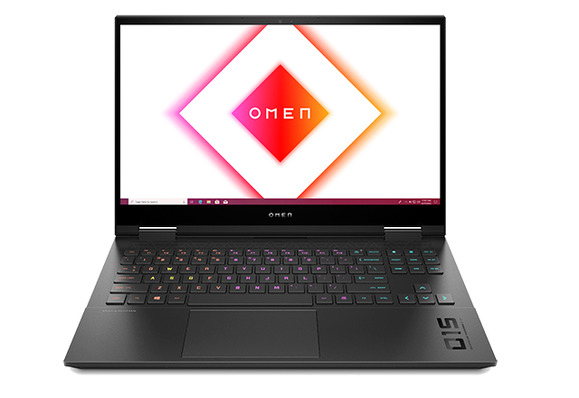
This is the long-term review of my HP Omen 15 laptop, model number ek-0600nd. While this exact model isn’t available any more, the Omen 15 in a slightly different spec is still available, and the other […]
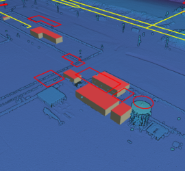
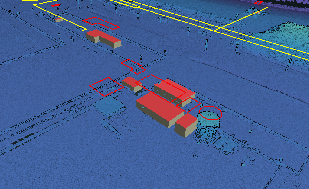
In my previous post I showed how to use Potree to create a web viewer for point clouds. But it doesn’t stop there, as Potree is also capable of displaying other geographic data. The Shapefiles example […]
Potree is the de-facto standard web viewer for point clouds. It can display huge point clouds by showing only the relevant parts of the cloud. It can display using all attributes of a LAS/LAZ file and […]