I’ve long been interested in using game engines as tool for visualising and analyzing geographic information. A couple of years ago I played with Unity. I liked how well integrated with C# it was and how […]
admin
120 berichten
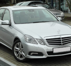
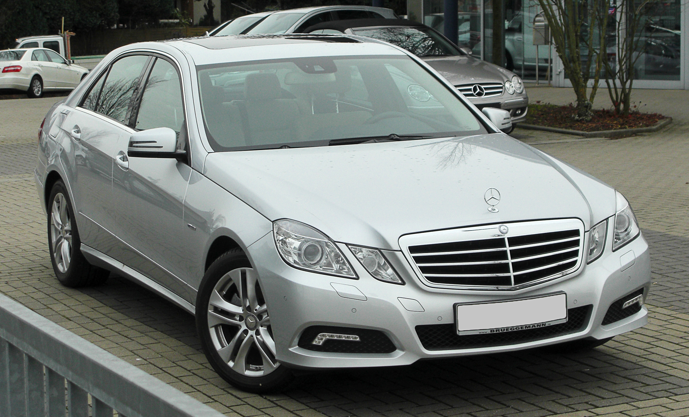
Voor een “auto van de zaak” die je ook privé gebruikt betaal je loonheffing over de bijtelling die afhankelijk is van de cataloguswaarde van de auto. Voor een Tesla Model Y is de bruto bijtelling ong. […]
Voor de werknemer in loondienst is de auto van de zaak nog steeds een aantrekkelijke manier om voor relatief weinig in een nieuwe auto te rijden. Voor de ondernemer/DGA is dit moeilijker, want bij privégebruik heb […]
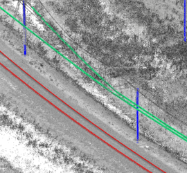
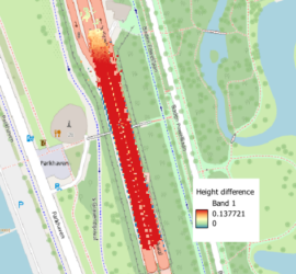
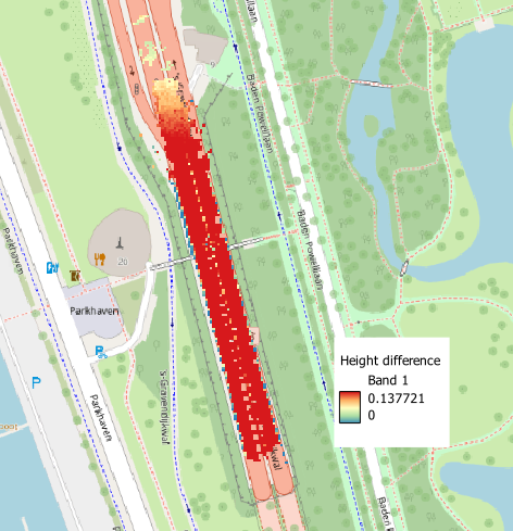
Volgens de BGT eisen zijn taluds BGT-inhoud bij een steilheid van 1:4 of meer en een hoogteverschil van minimaal 1m. Toch krijg ik de indruk dat dit maar zelden daadwerkelijk is doorgevoerd, ondanks dat met het […]
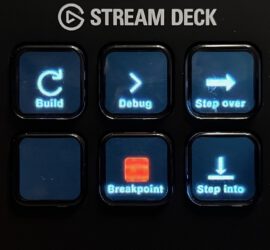
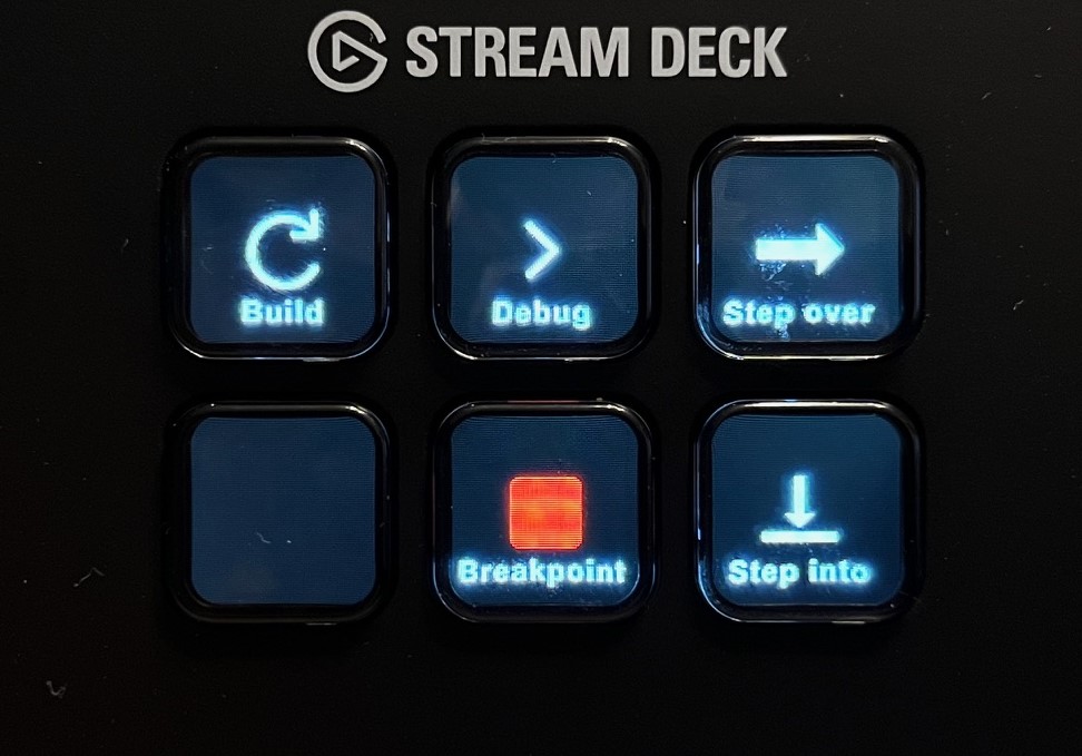
I’ve recently acquired an Elgato Stream Deck Mini after reading about it in German computer magazine C’t. For those who are not familiar with the Stream Deck, it’s essentially a programmable macro pad, but with the […]
This article is available in three languages, so make sure to choose your preferred language on the right. 2024 is een lustrum jaar voor mij. En dan heb ik het niet over de 70e verjaardag van […]
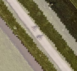
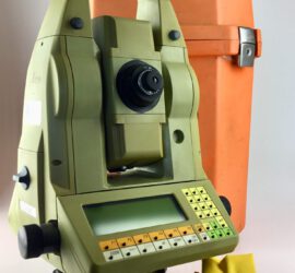
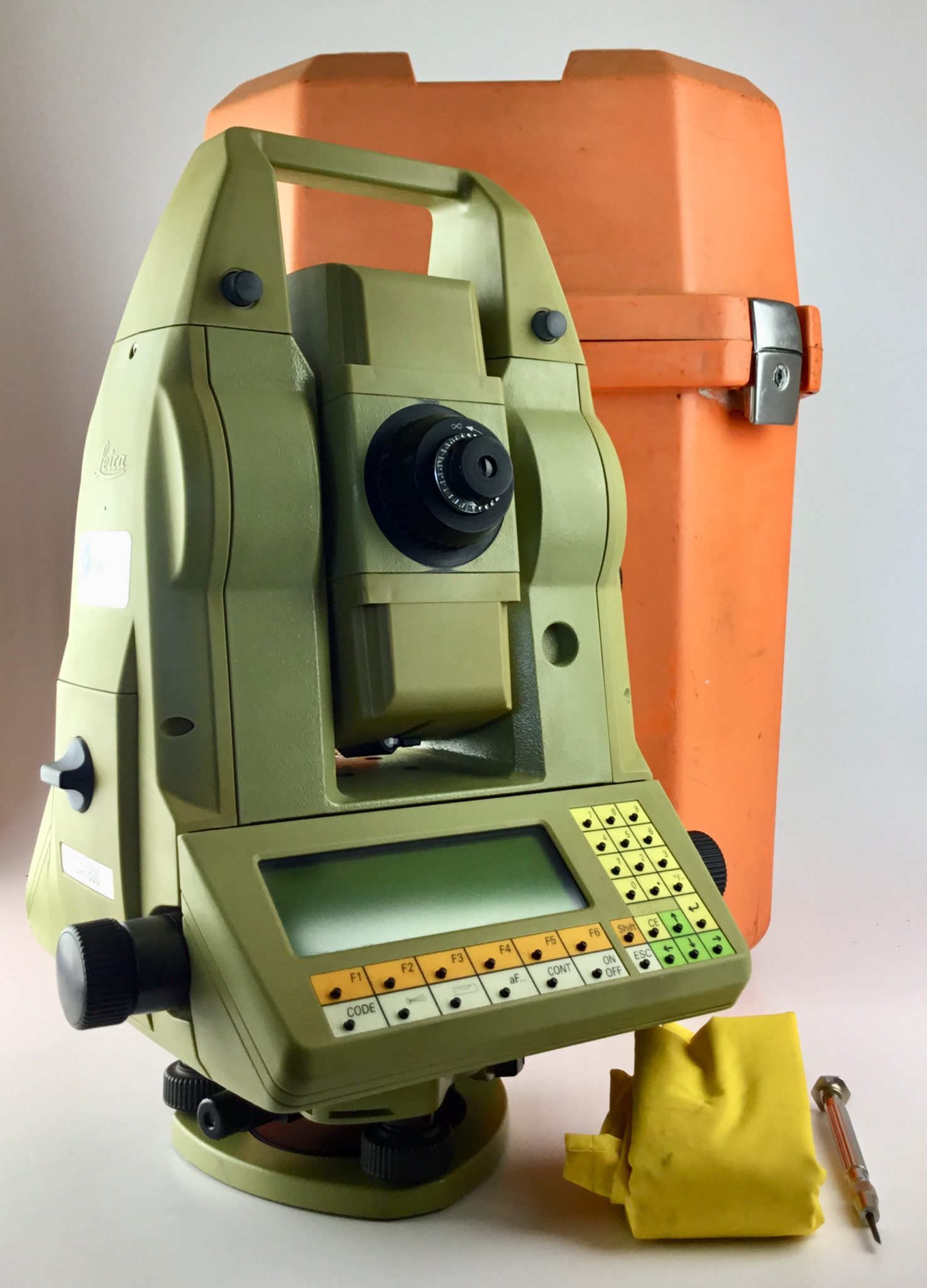
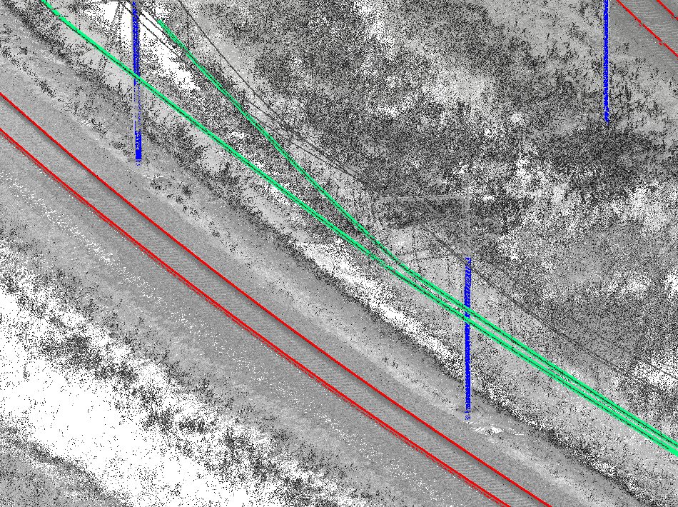
Puntenwolken die middels laserscanning met een Mobile Mapping systeem verkregen worden zijn de de-facto standaard voor het efficient op grote schaal in kaart brengen van spoorinfrastructuur. Helaas zijn puntenwolken grote en ongestructureerde hopen data met een […]
Ik heb vele jaren ervaring met Mobile Mapping en meerdere gerelateerde softwarepakketten geschreven. Trajectory analyse Het verwerken van Mobile Mapping data begint met het beginnen van een goede trajectory. Ik heb TTools geschreven die trajectories in […]

Ik heb in het verleden geschreven over waar je op moet letten als je Freelancer wilt worden. Ik kreeg toen lof voor het schetsen van een realistisch beeld, maar werd ook gevraagd wat het je dan […]